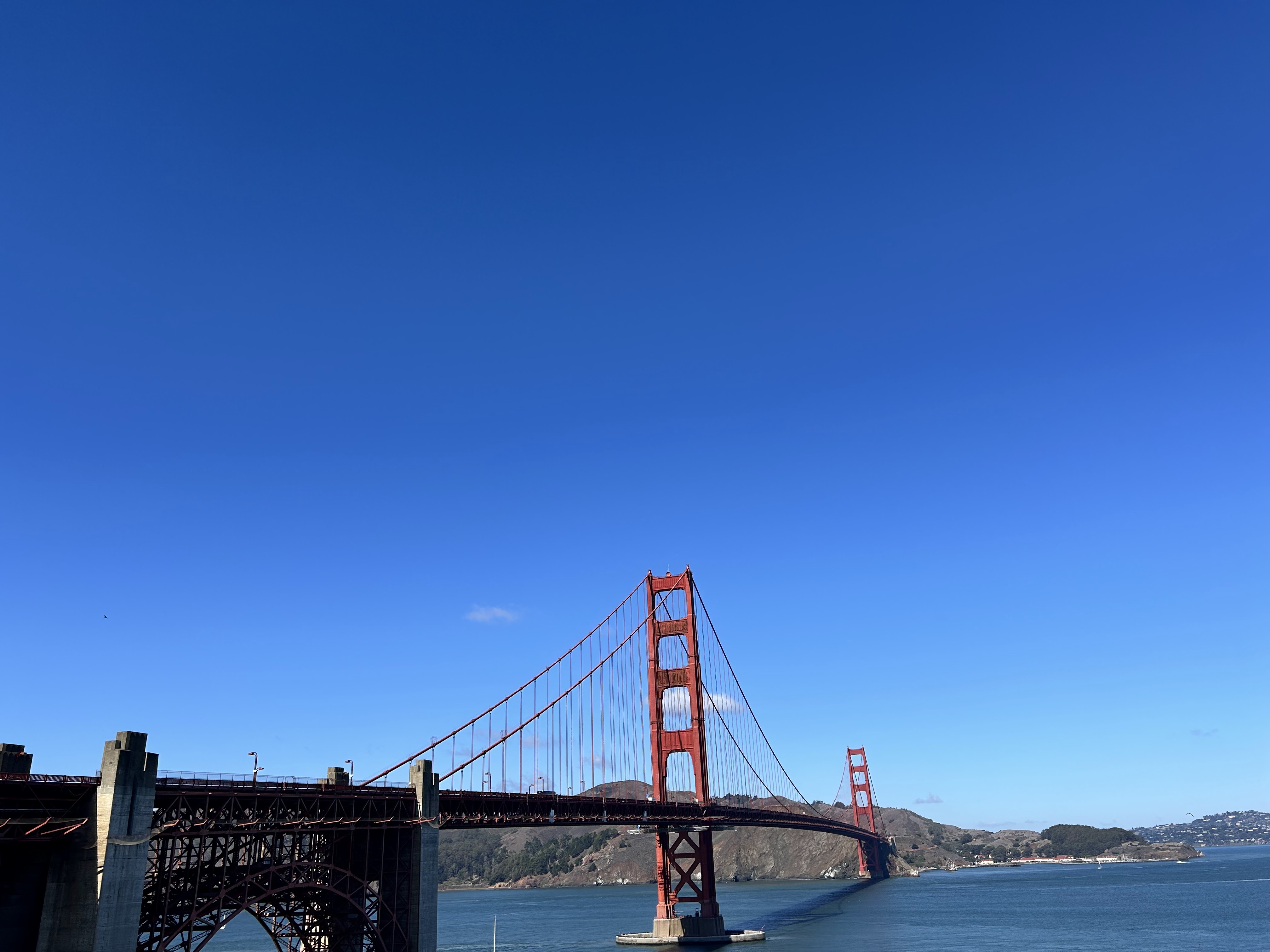
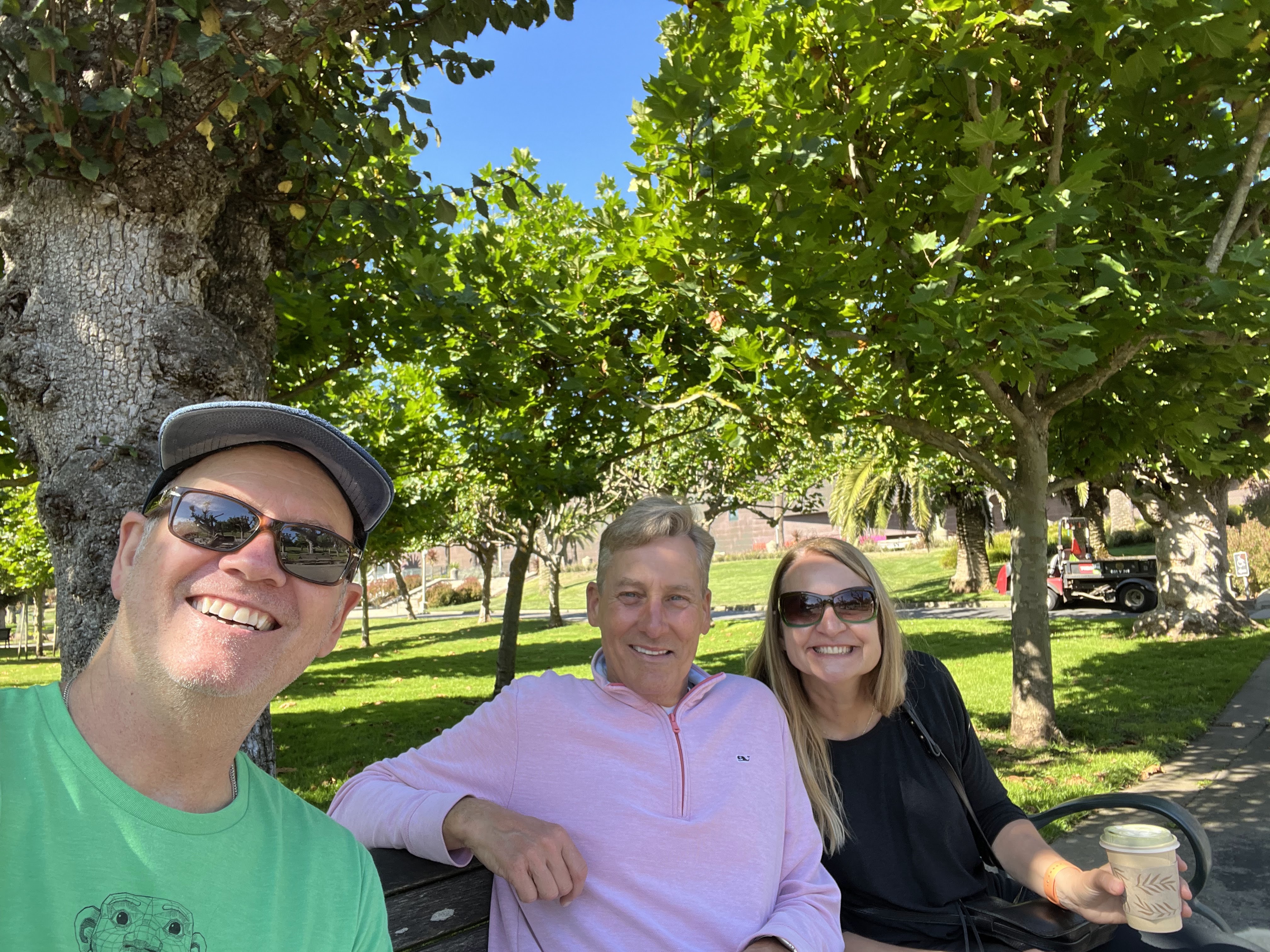
Asheville is an easy three hour drive from Atlanta which includes driving through north Georgia, a sliver of South Carolina and landing in western North Carolina. I planned it so we would arrive in Asheville for a late lunch and then have time to meander and orient myself before our reservation at Rhubarb at 6 p.m.
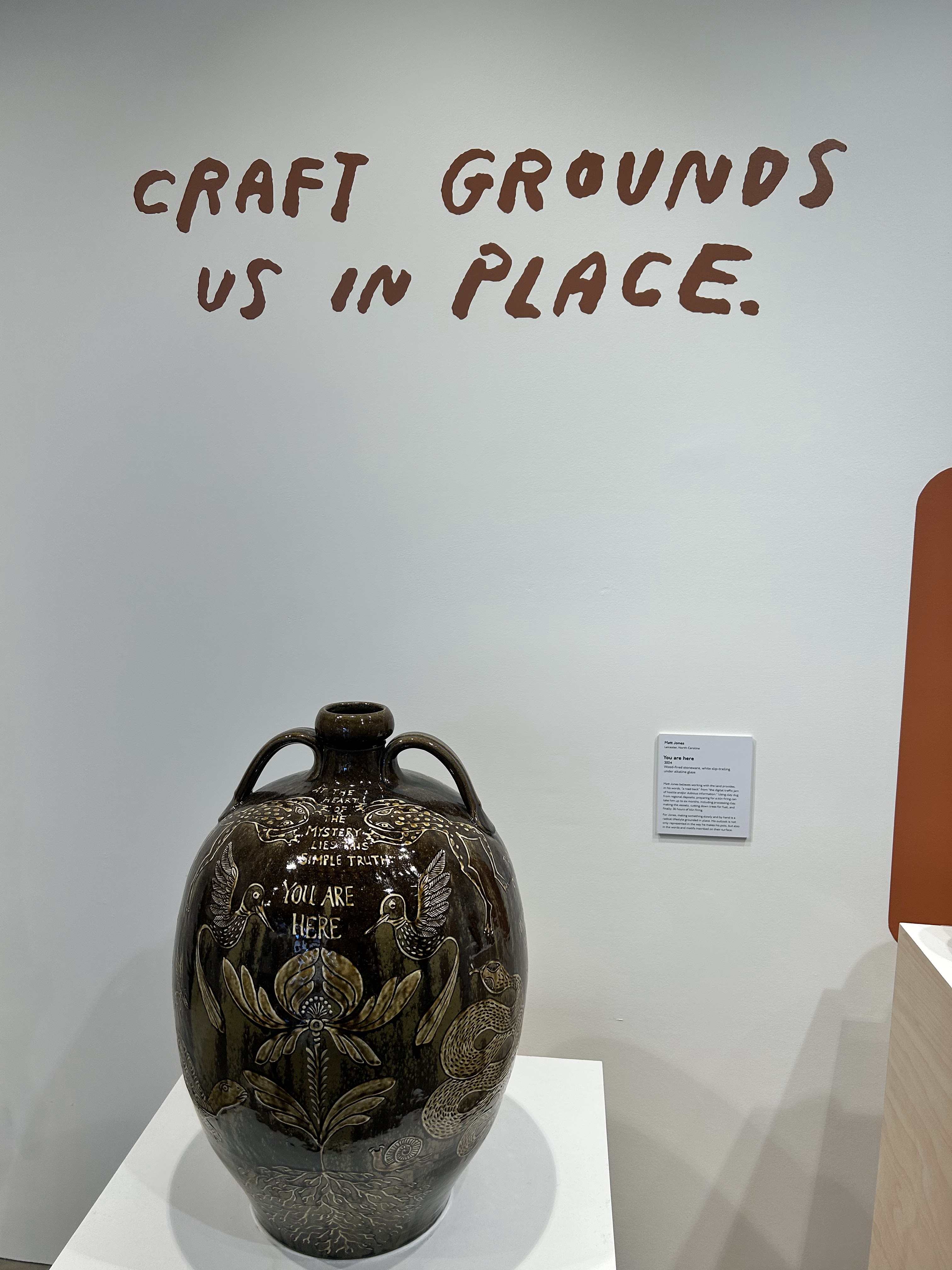
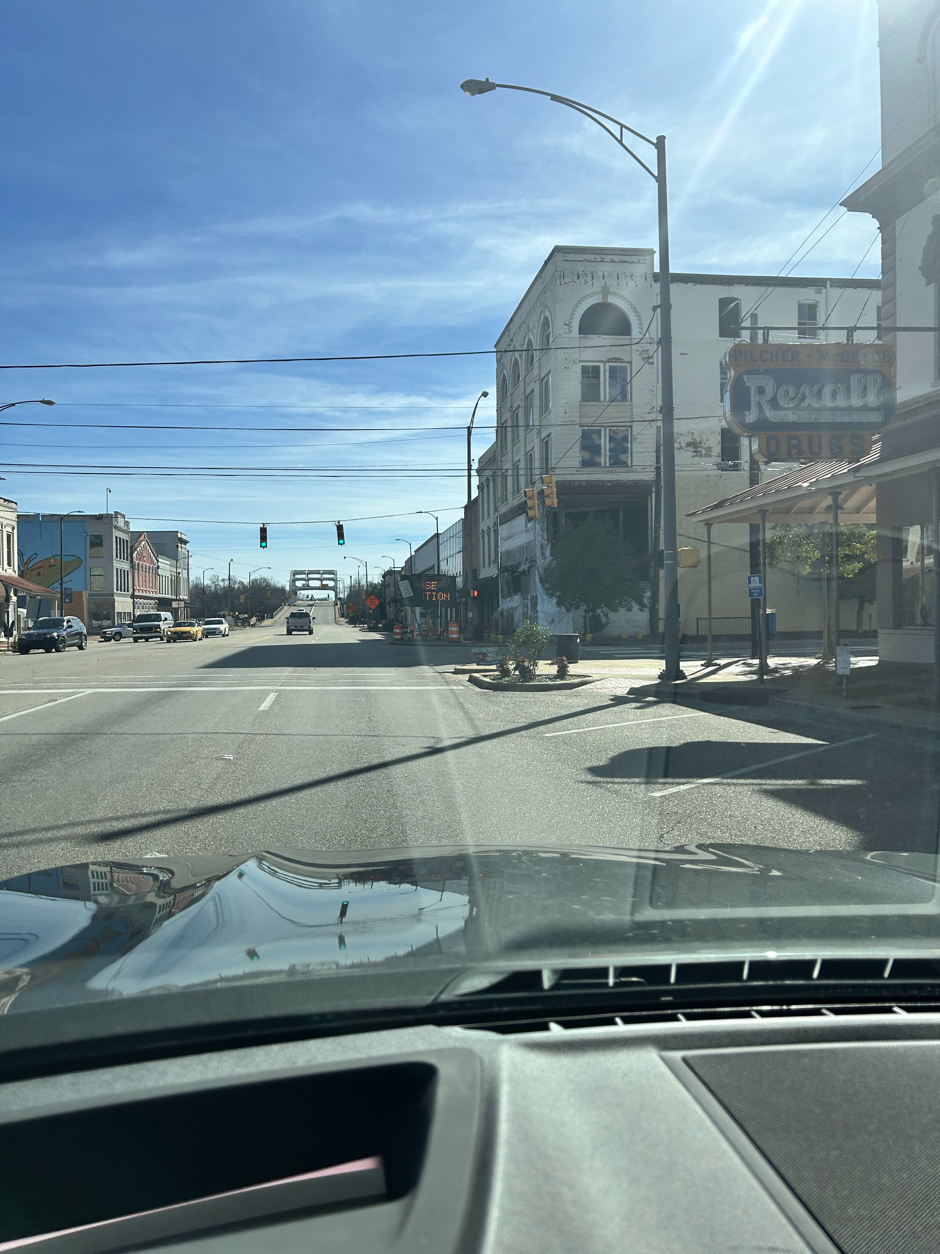
As I expected for a city of its size, Asheville was easy to navigate. I found the Center for Craft, which introduced me to the robust and active arts and crafts community in Asheville. This amazing space believes “Craft is for Everyone” with materials ranging from glass, yarns, paper, pottery and so much more. There is a library of craft-focused books, a materials exploration area and even a co-working space.
I then moved on to the Asheville Urban Trail. This self-directed tour invites the visitor to learn about Asheville’s history by walking downtown and finding sculptures, reading plaques and listening to online audio clips with an online map. It was a great way to learn my way around and get a feel for the influences that shaped Asheville. I noticed immediately that Asheville is very clean with not a drop of litter anywhere (even though there are homeless folks around, garbage is disposed of properly).
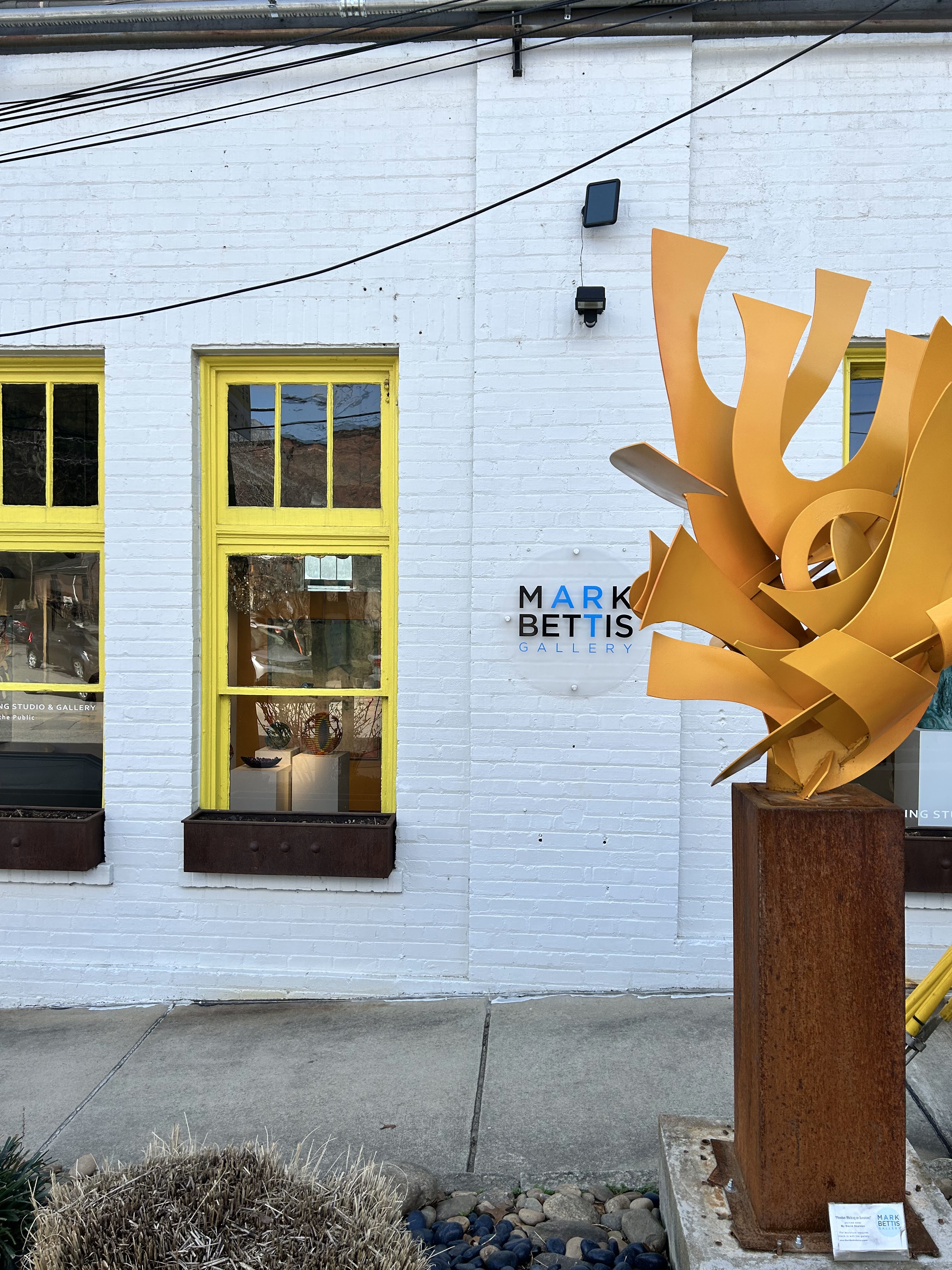
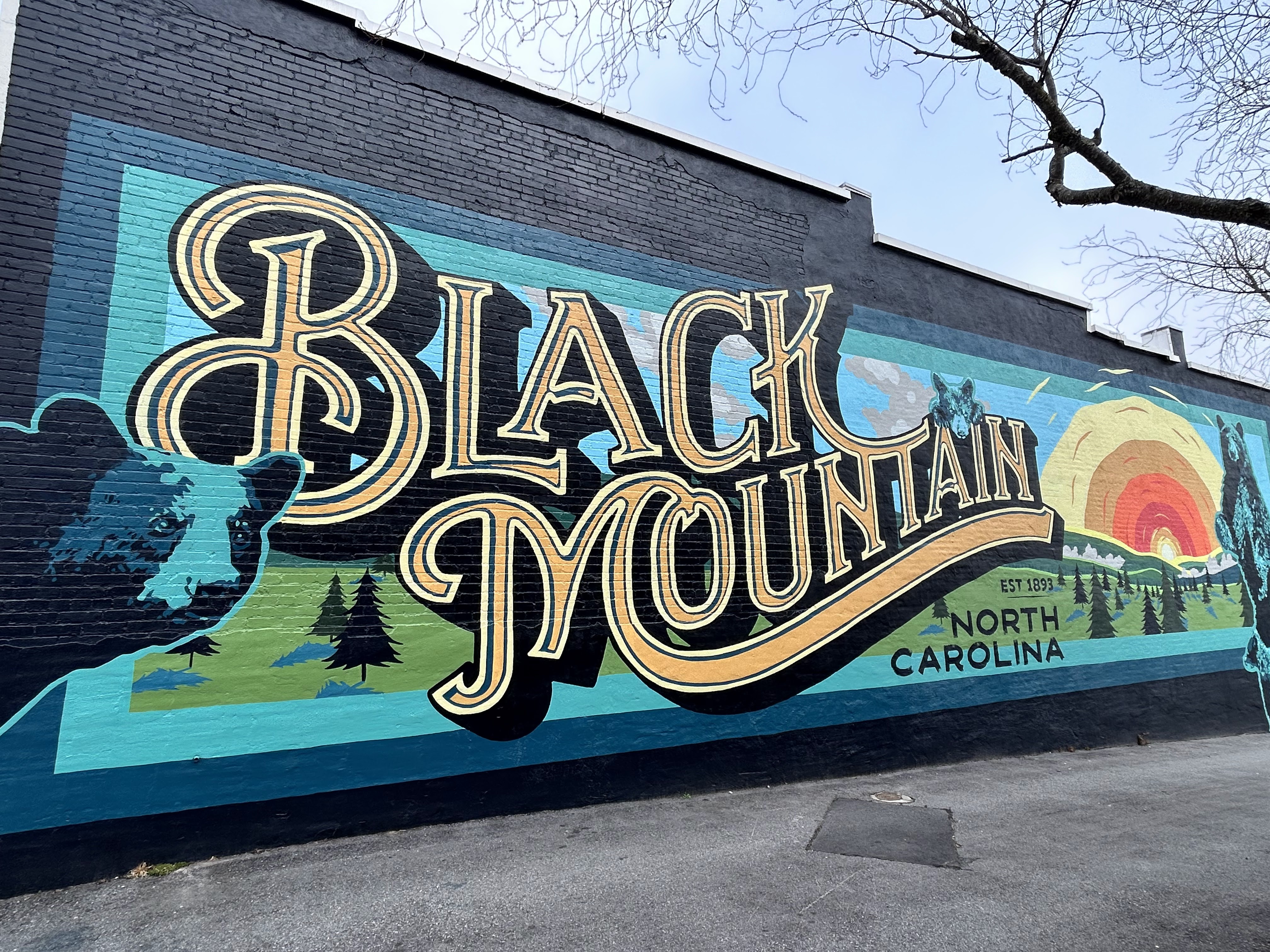
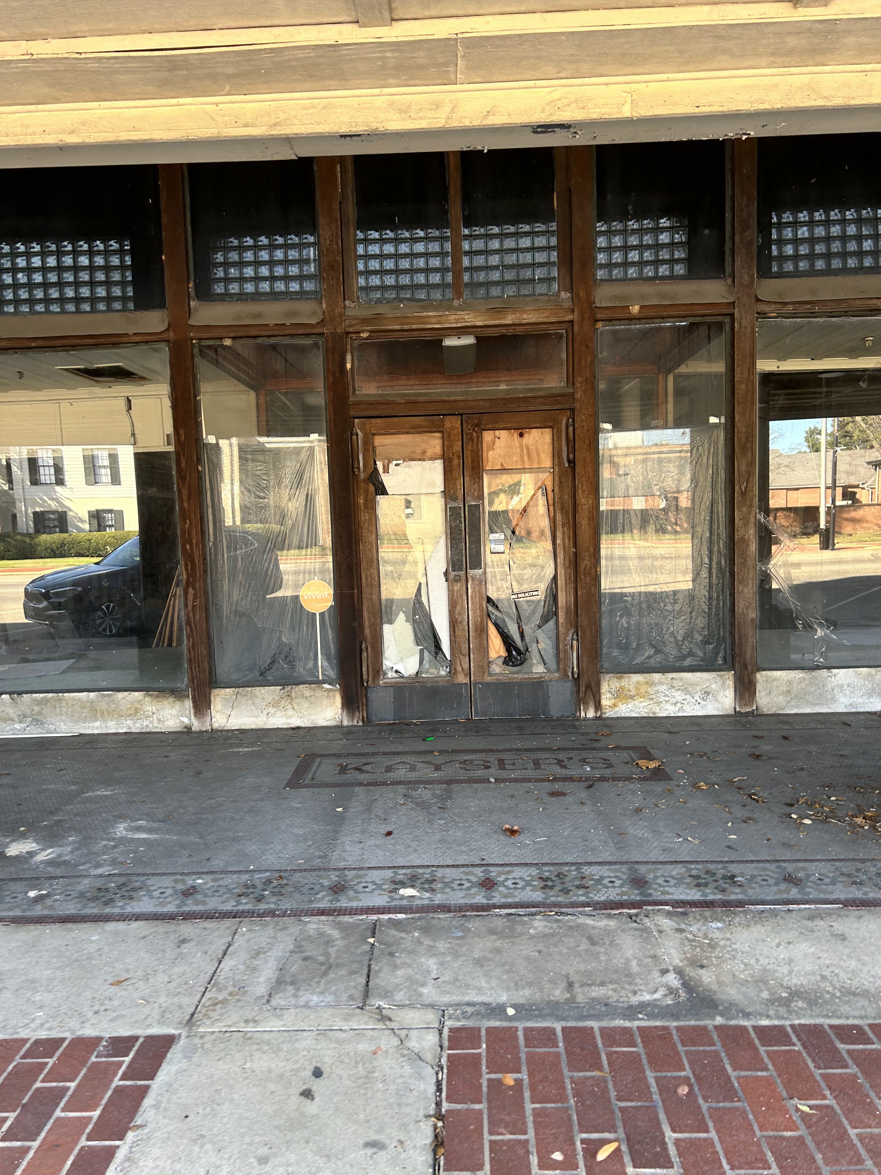
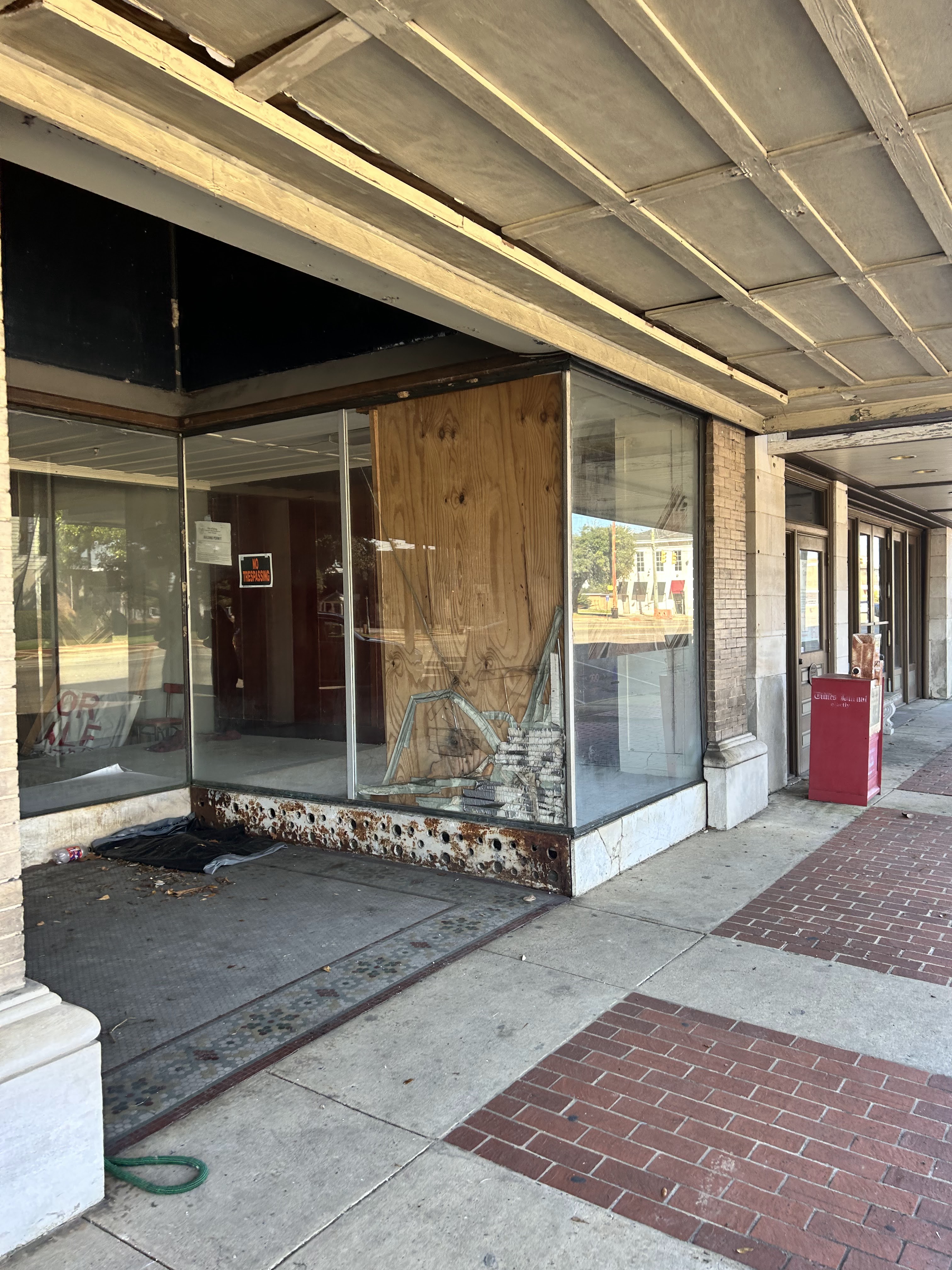
The next morning, we drove 13 miles to Black Mountain, a quaint town with shops and galleries. We landed at Cousins Cuban Cafe for some excellent cafe con leche and a guava and cheese pastelito. After enjoying my Cuban decadence, we drove to the River Arts District (RAD). This warehouse district along the French Broad River is perfect for strolling, exploring and taking in all the creativity this city prides itself in. The river also has an esplanade where runners, walkers and dogs seem to congregate. The multi-street area contained galleries, studios and cafes. Apparently this district was quite devastated during Hurricane Helene and continues to rebuild and improve. It was fabulous.
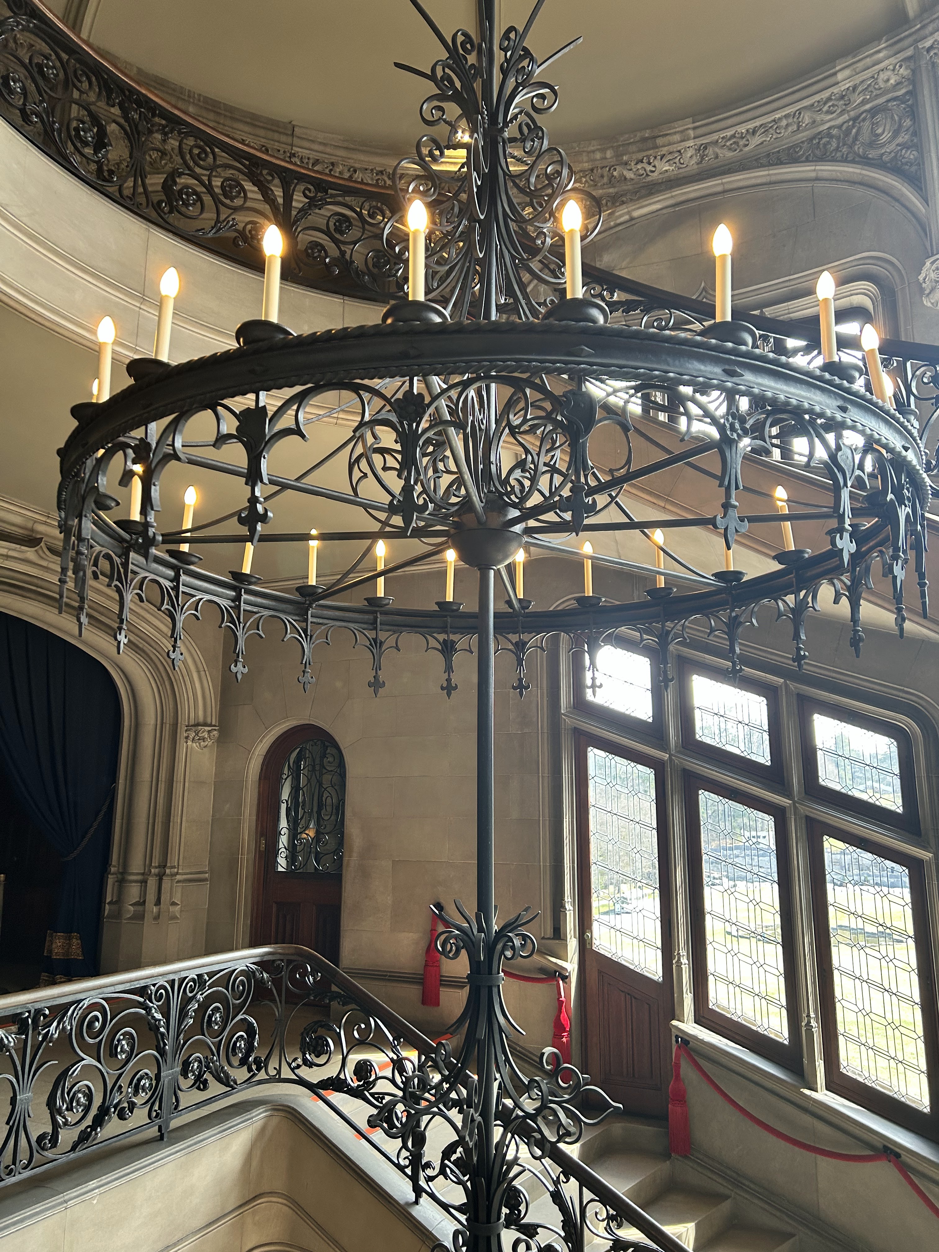
Next up was the Biltmore Estate. The expansive grounds of over 40 acres included the house, conservatory and gardens, a winery with tasting room, hotel and event space with exhibitions (currently King Tut’s tomb and treasures). We took the audio tour of the house, walked the gardens and viewed the King Tut exhibit. The house displayed such opulence and told the story of the Vanderbilt legacy.
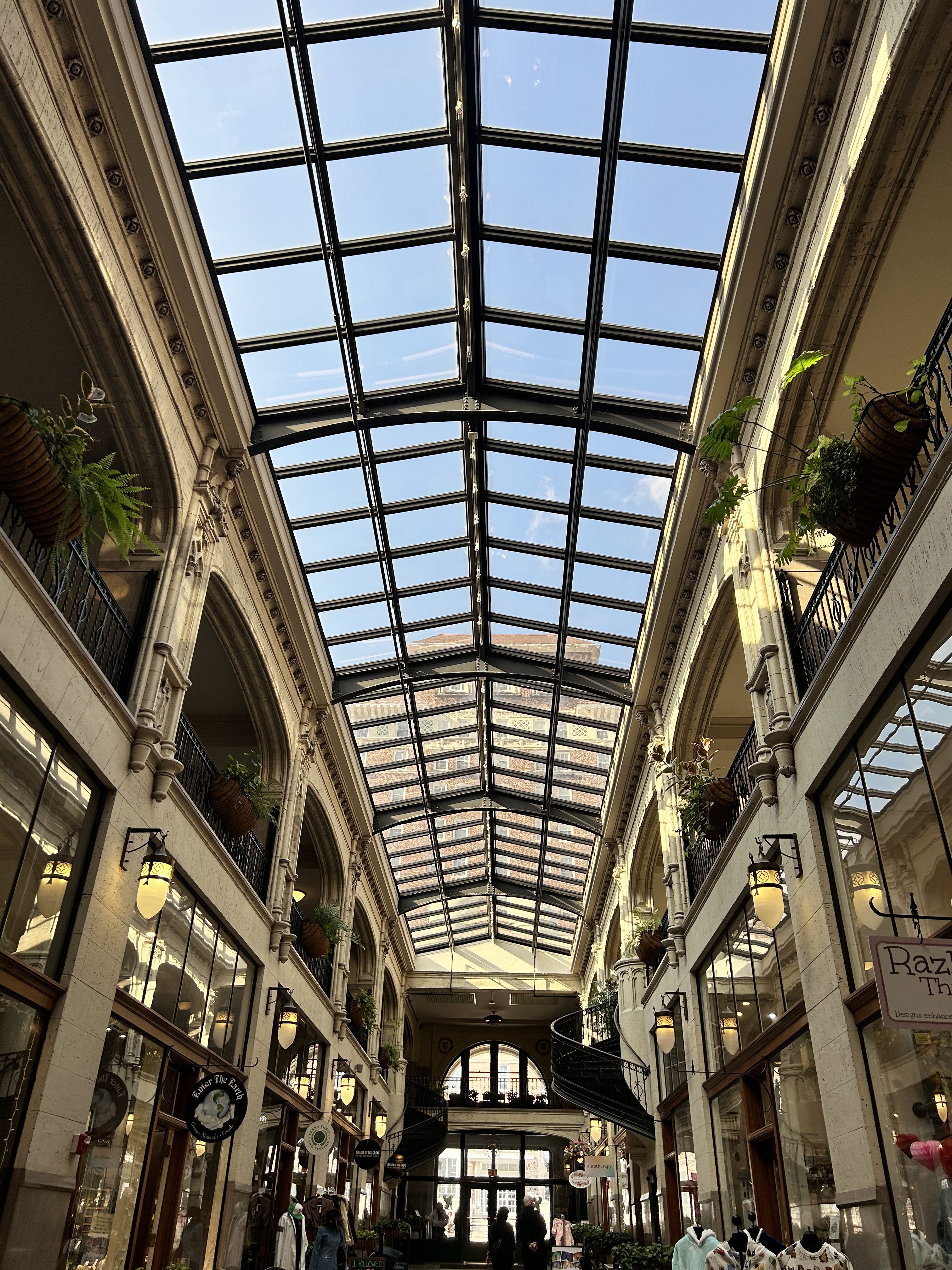
Once back to the hotel, I walked to the historic Grove Arcade before dinner. I did not go to shop, but instead to look at this amazing Art Deco building. Built in 1929 I felt the quality of the structure and the grandeur of the time. The arched glass roof was truly beautiful. Dinner at Chestnut did not disappoint. The lobster bisque was divine. This restaurant is housed in another old, beautiful building and I love how Asheville has preserved the past by keeping these historic buildings around.
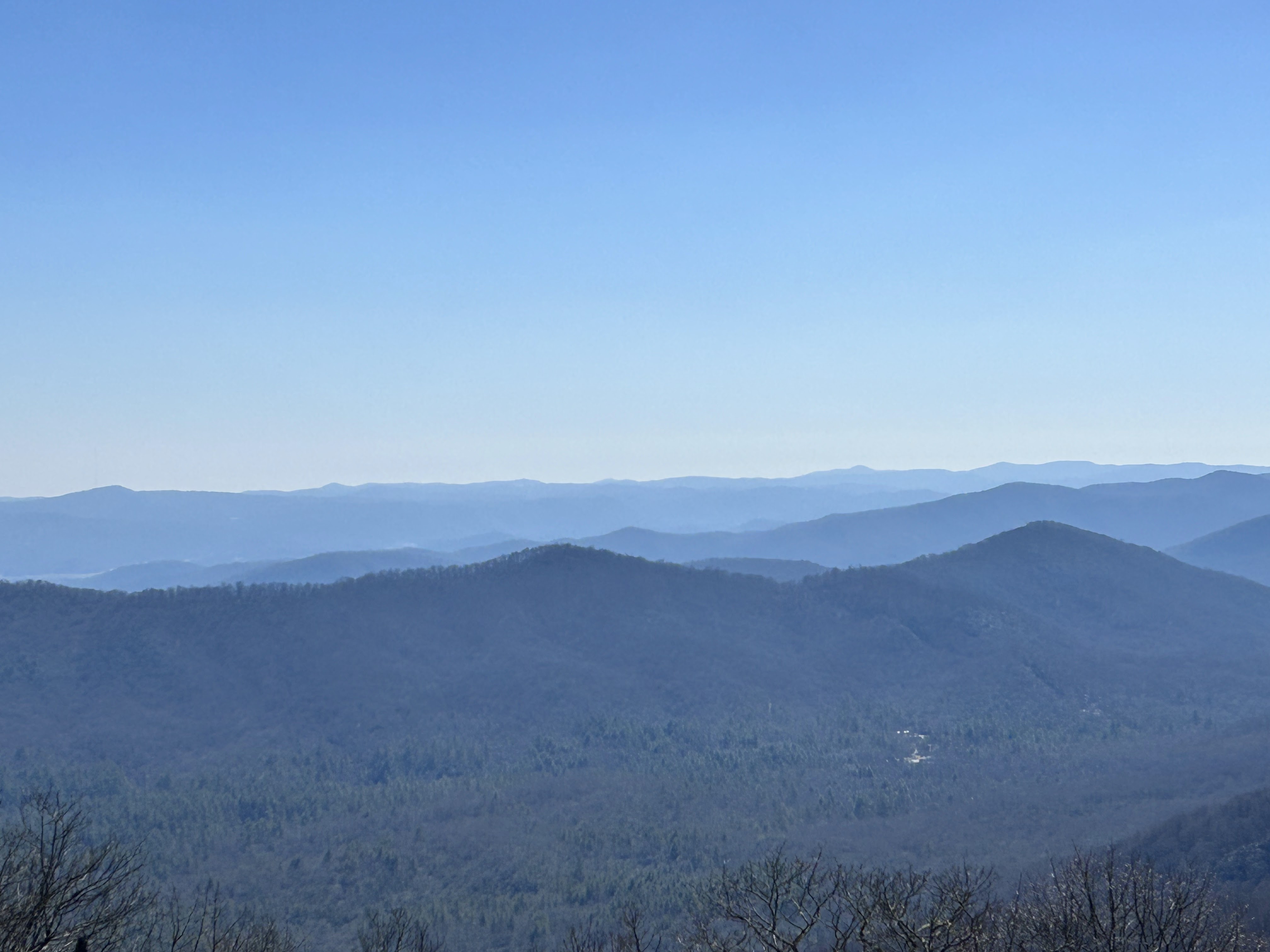
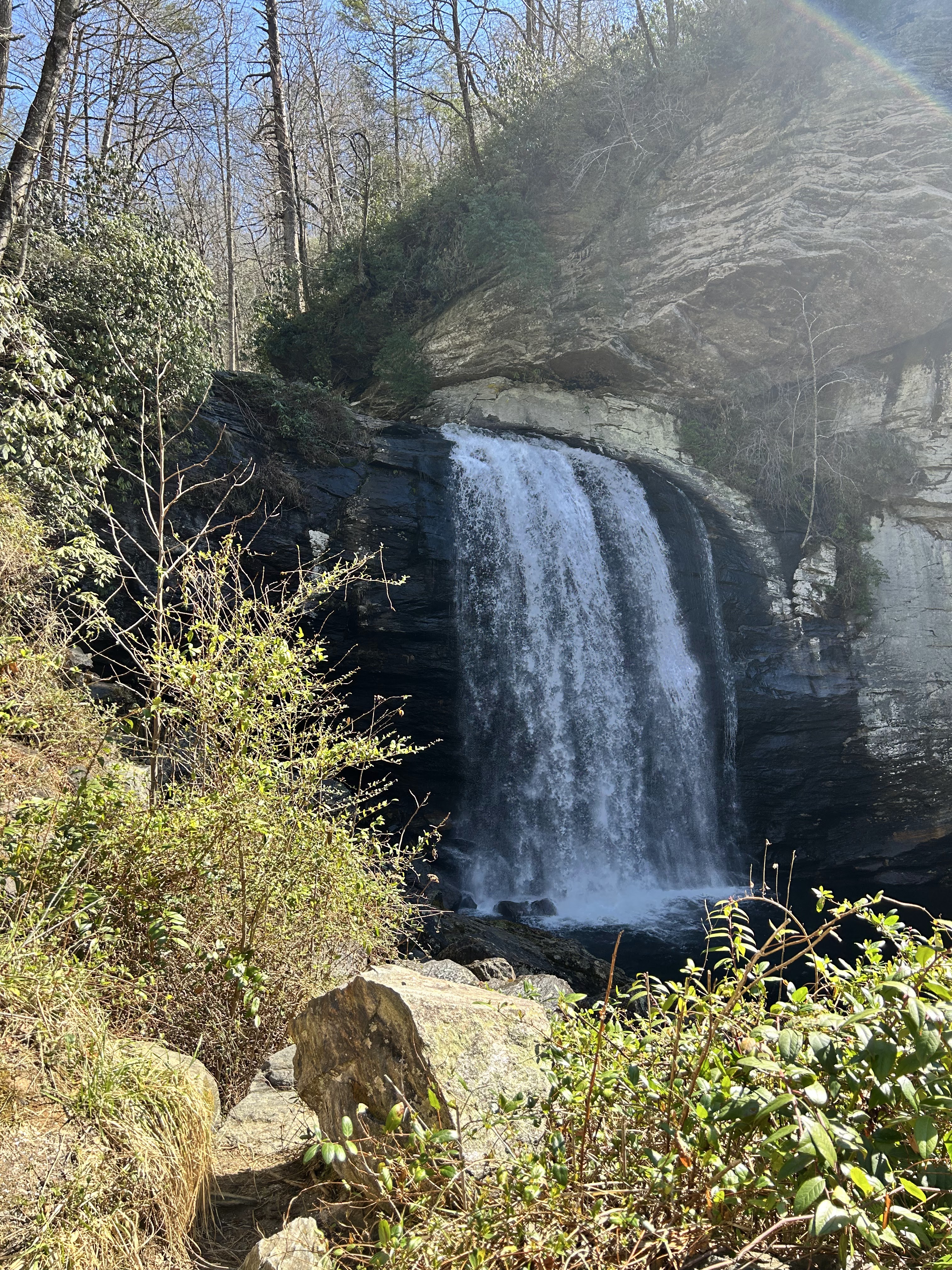
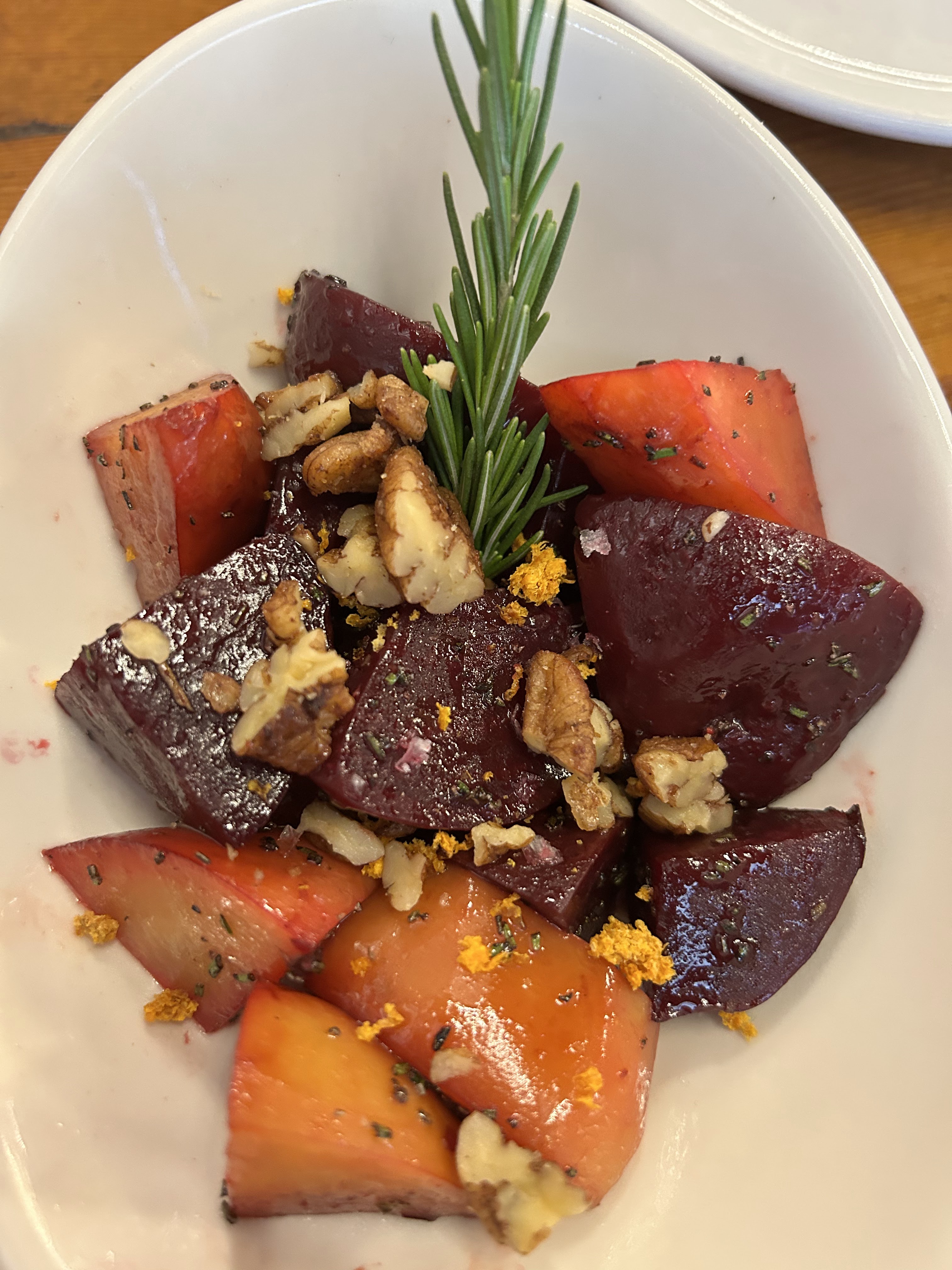
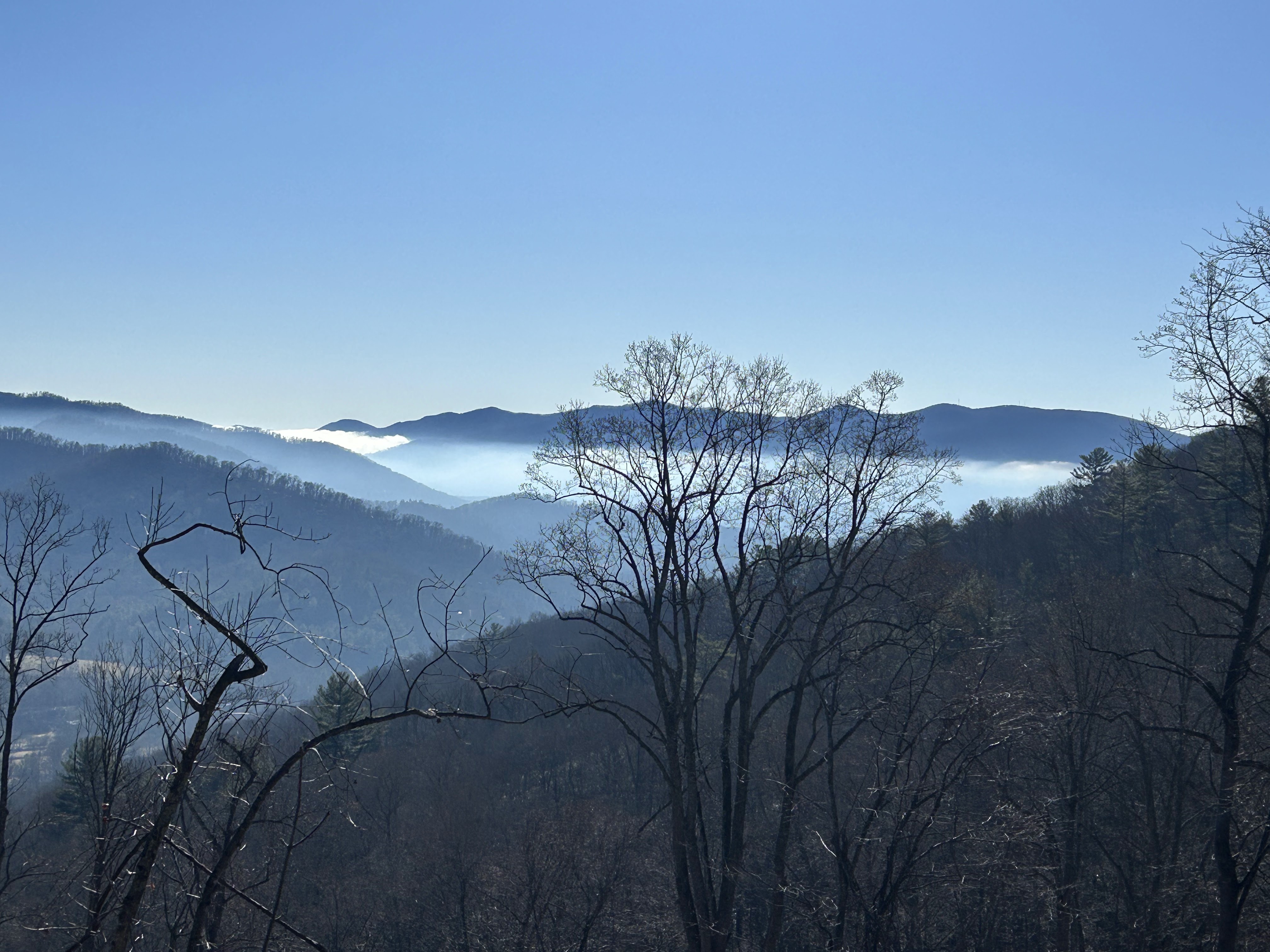
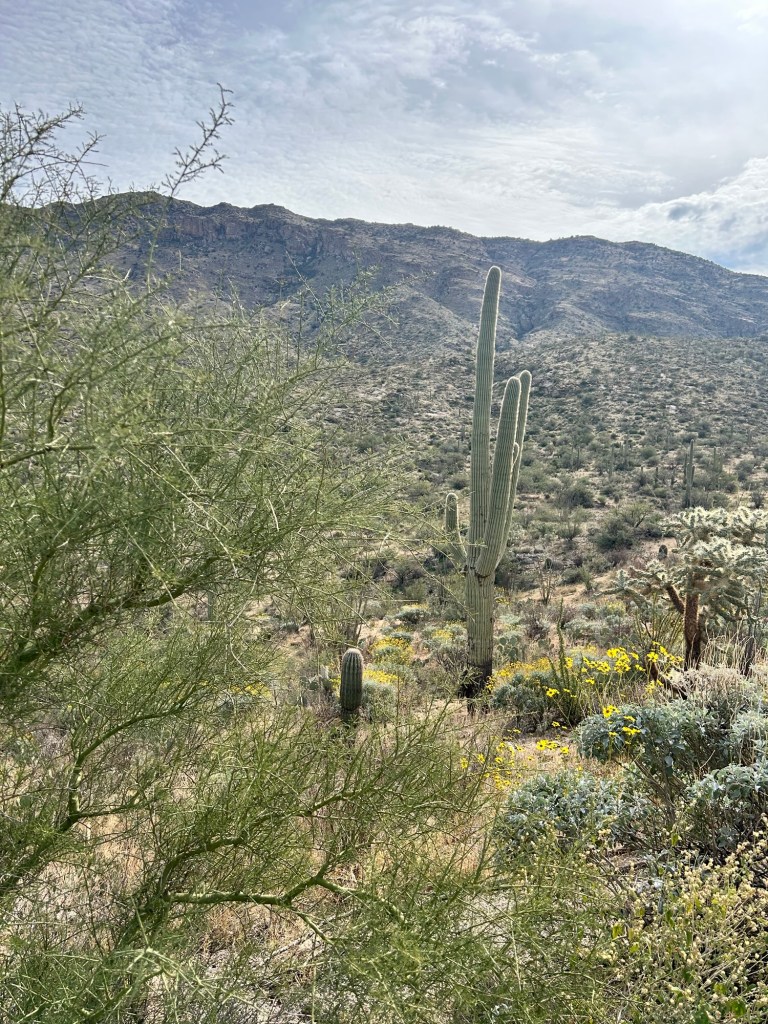
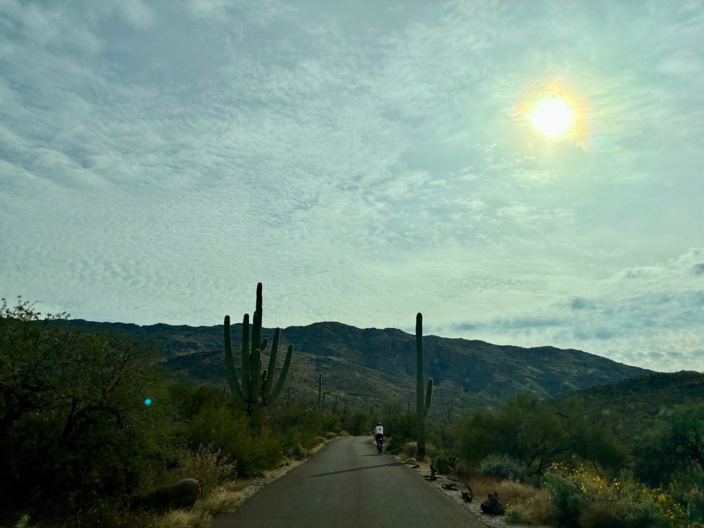
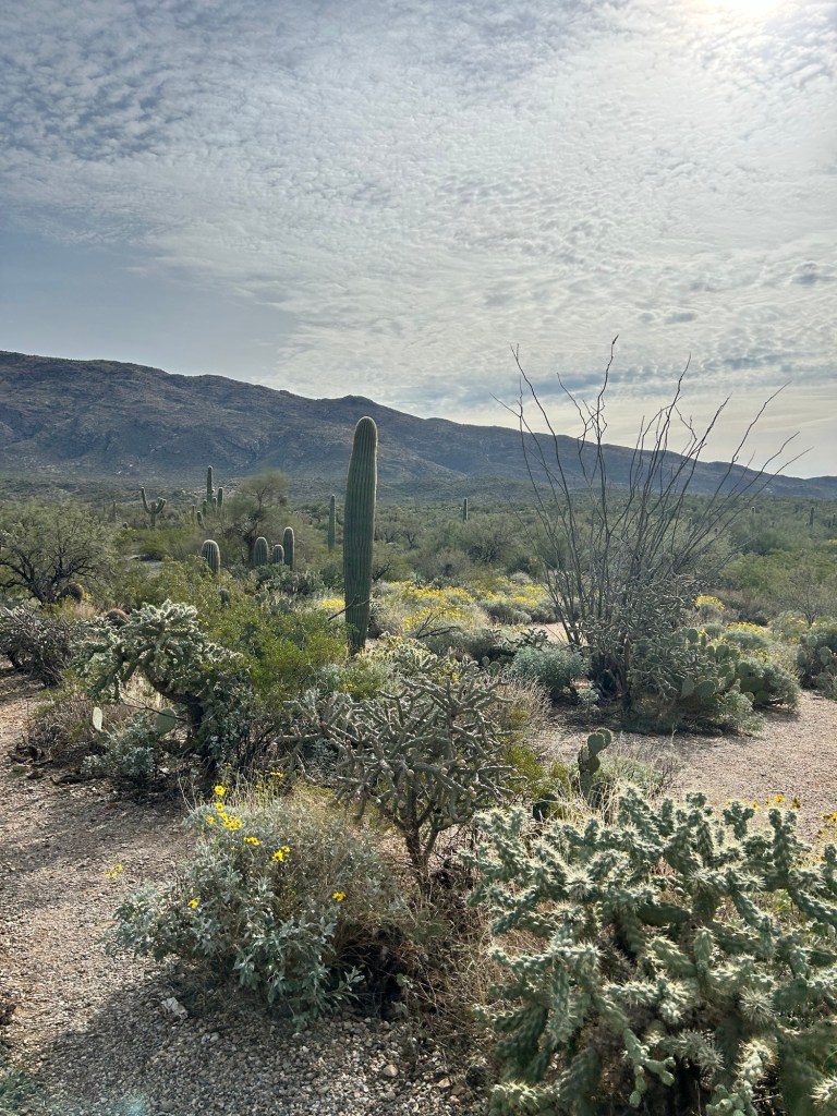
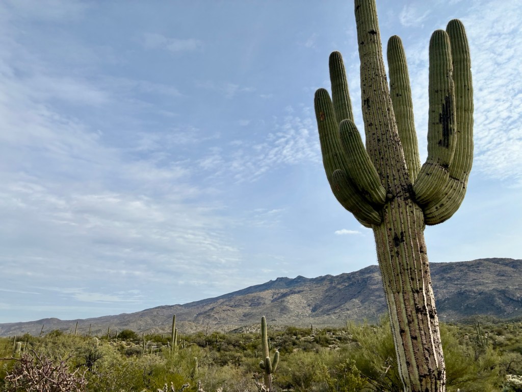
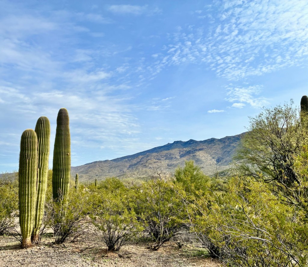
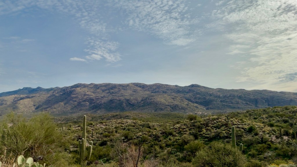
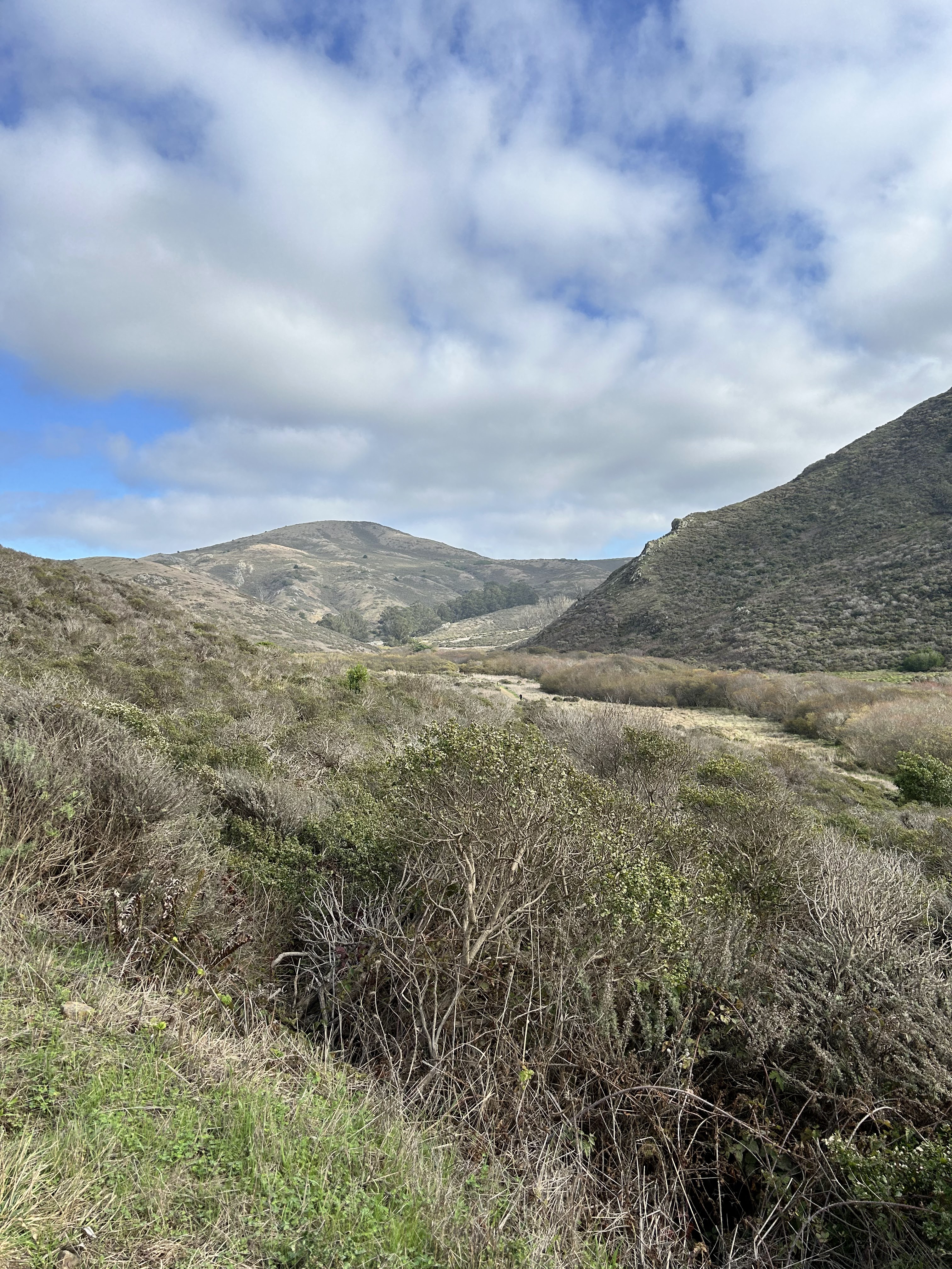
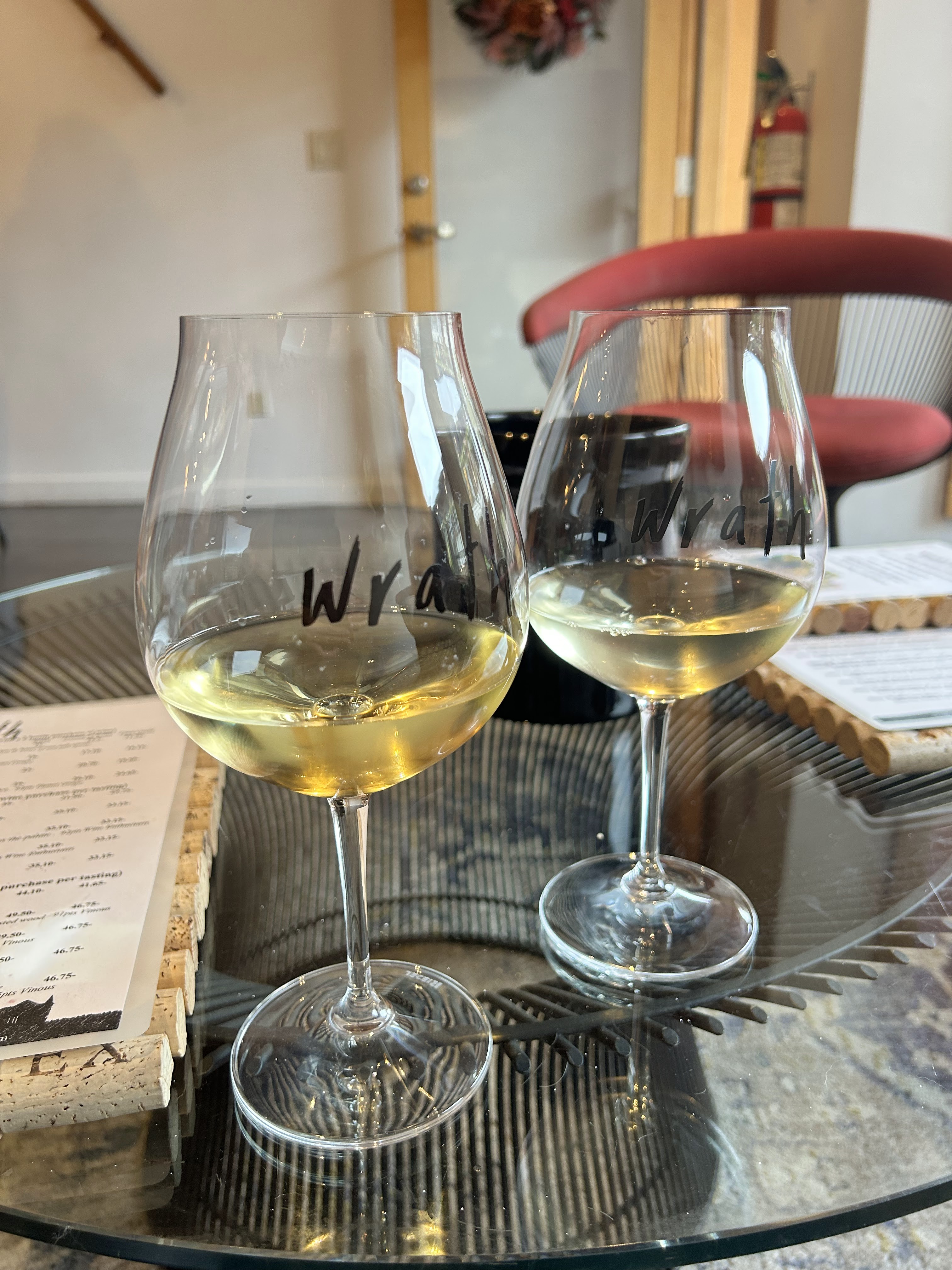
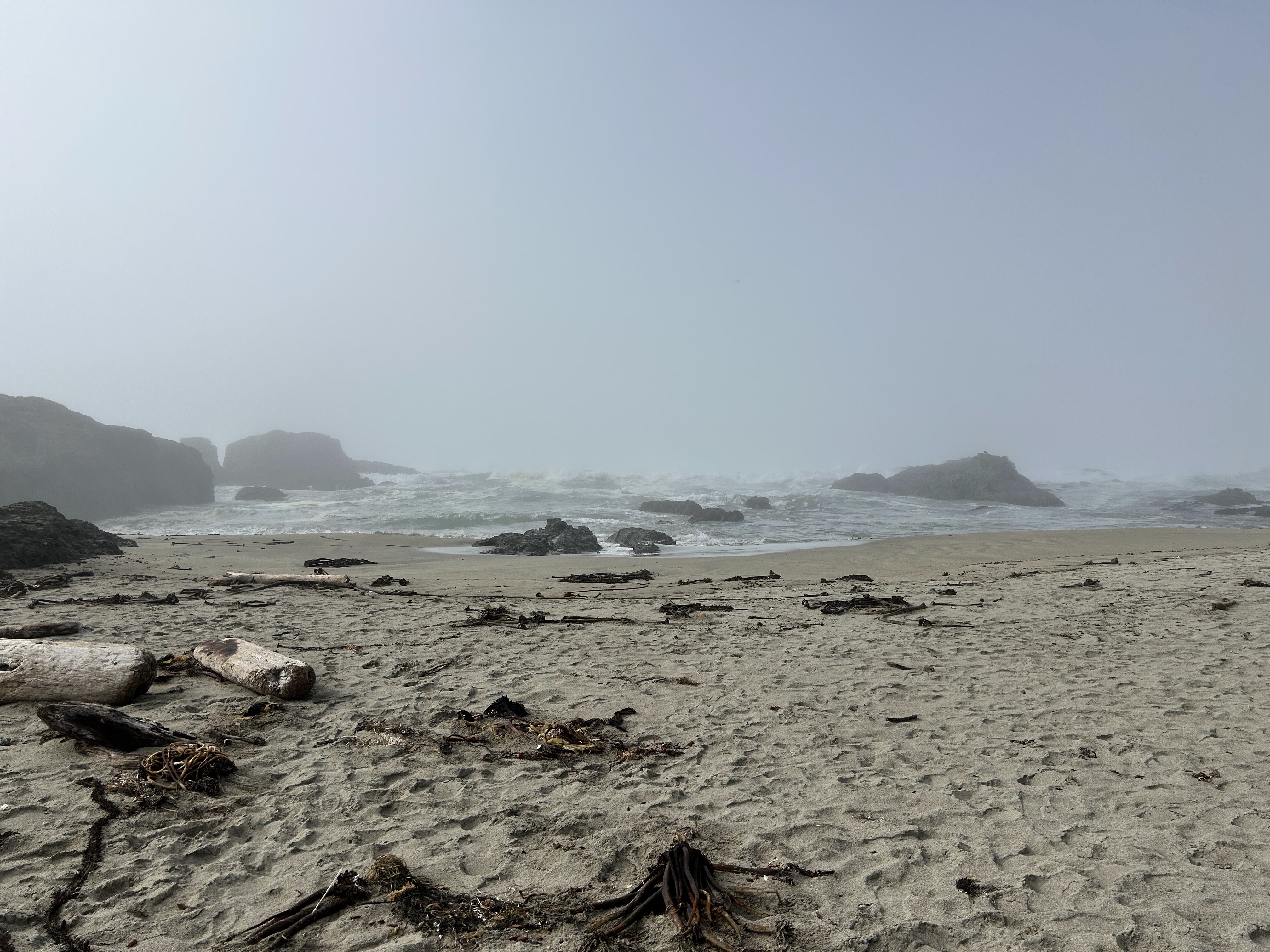
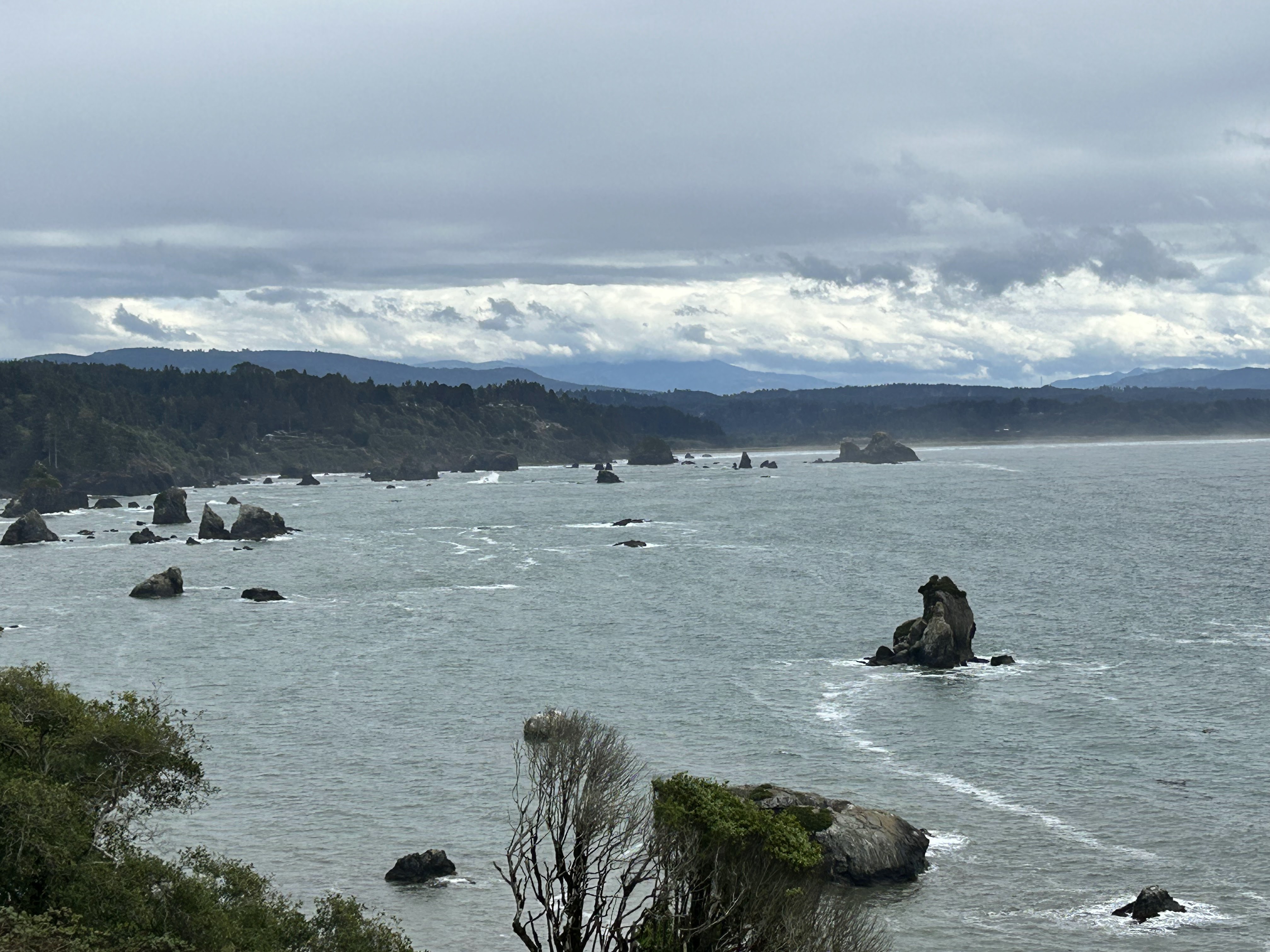
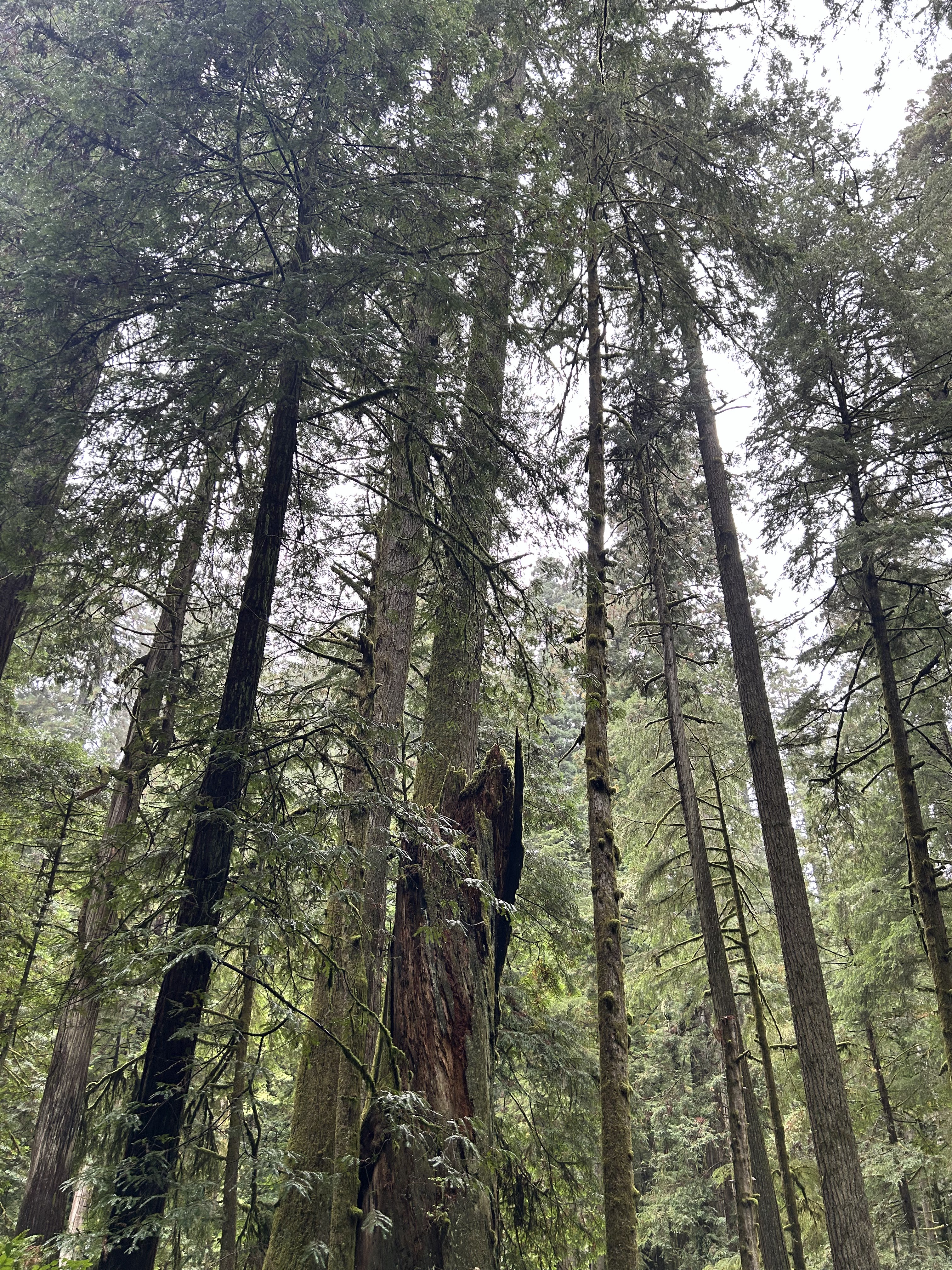
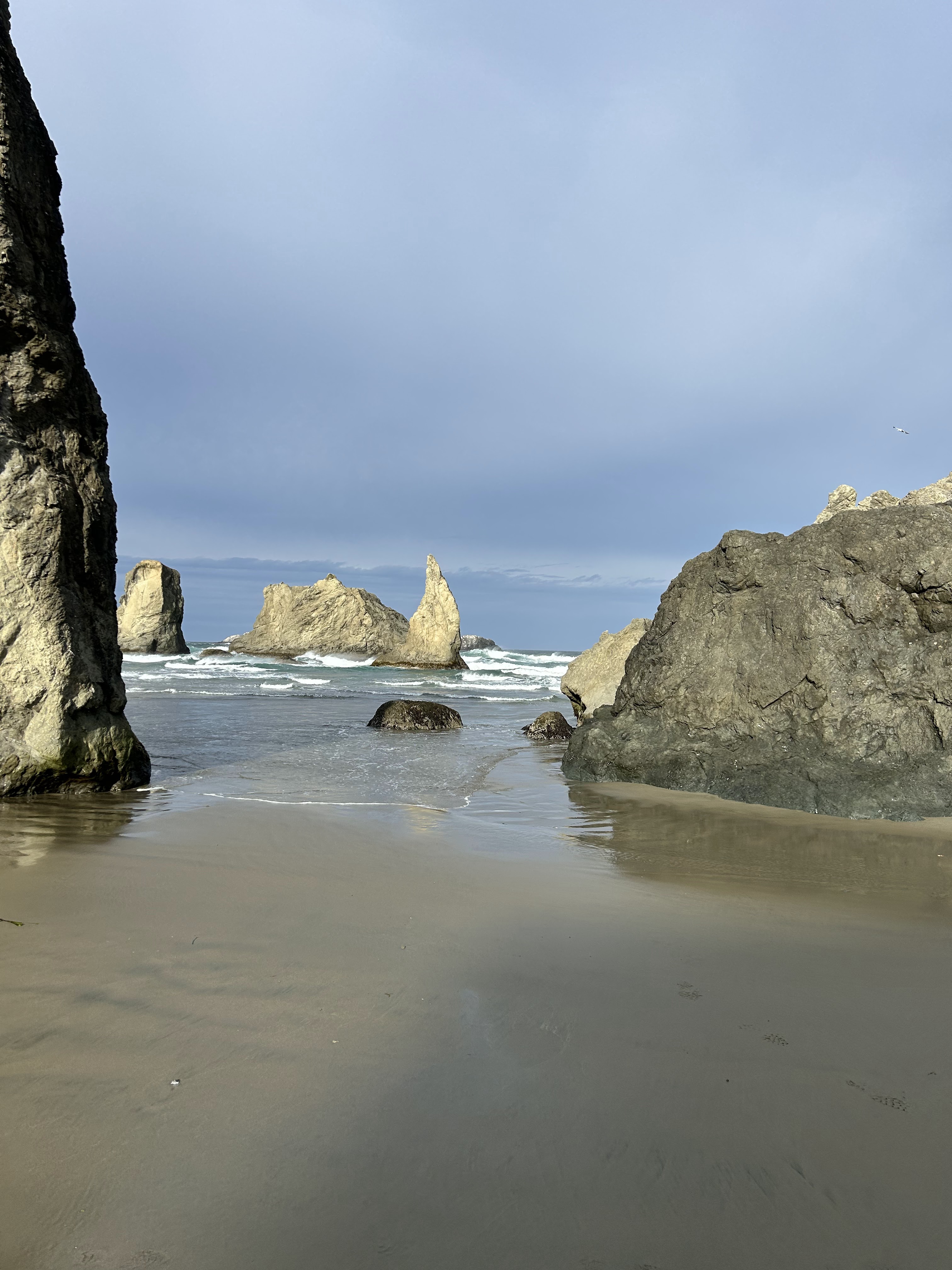
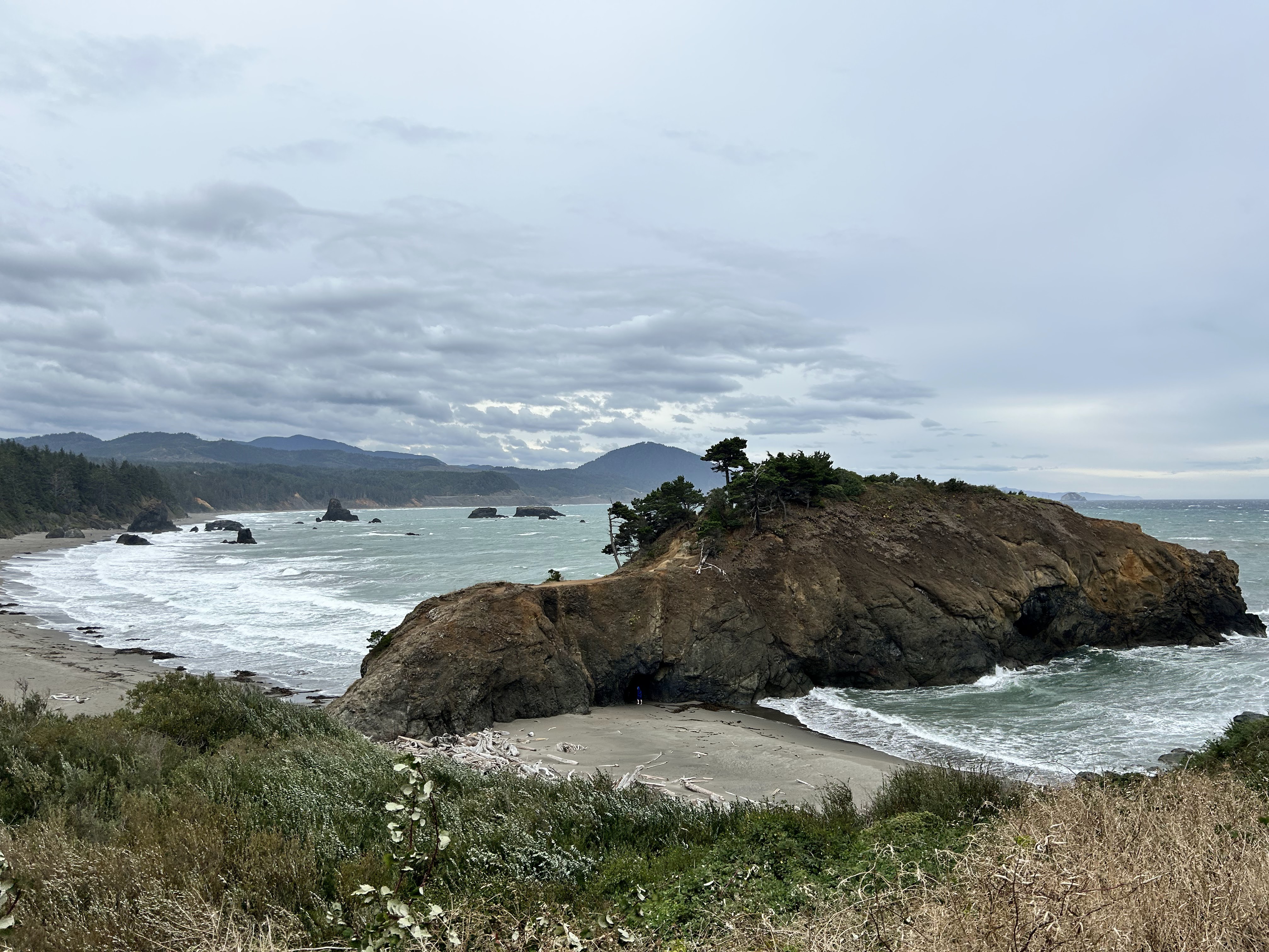
The next day focused on the outdoors as Asheville is surrounded with the Blue Ridge Parkway and the Pisgah National Forest. The fog over the rolling hills of the Blue Ridge Mountains is serene and we drove just a snippet of this 469 mile trek. There were multiple overlooks that allowed us to stop and take in the breathtaking views. We lunched in Brevard at The Square Root. After lunch we hunted down two different waterfalls, drove through the Pisgah National Forest, looped back on the Blue Ridge Parkway and landed back in Asheville for our final dinner at Curate. This tapas restaurant was amazing. The eggplant with honey and rosemary will be on my mind for a long time!
On our drive out of town the next morning, we drove through west Asheville and stopped at Owl Bakery. The breads and pastries were excellent (try the Pasteis de Nata) and landed at Biscuit Head for breakfast. Biscuit Head’s mantra is, “Put some South in your mouth” and I recommend you do just that. On our way back to Atlanta, we stopped in Greenville, SC. It has a lively downtown area along the river. I will definitely head there for a separate long weekend of exploration as this city is on my list to investigate.